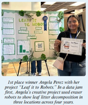
This unique competition that was created by Asombro has now been replicated by other education groups for students in Puerto Rico, New York, Massachusetts, and beyond! The heart of the Desert Data Jam is data interpretation and communication. 7th grade students choose from four datasets collected at the Jornada or at other long-term research sites, this year including criollo cattle, wind erosion, litter decomposition, and wildlife populations. They learn about study design, data presentation, and identifying patterns in data. Then their creativity is put to the test as they design and present a creative project that shows the data trend to scientists and non-scientists. This year’s data jam featured creative projects like a paper-mâché coyote, sculptures, poems, and a robot.
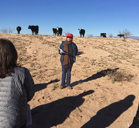
Scientists recognized that there was a need to better understand how agroecosystems adapt and respond to management across a wide range of environmental conditions; working at our own research stations was insufficient to address such complex, systems-level agricultural problems. Read the story.
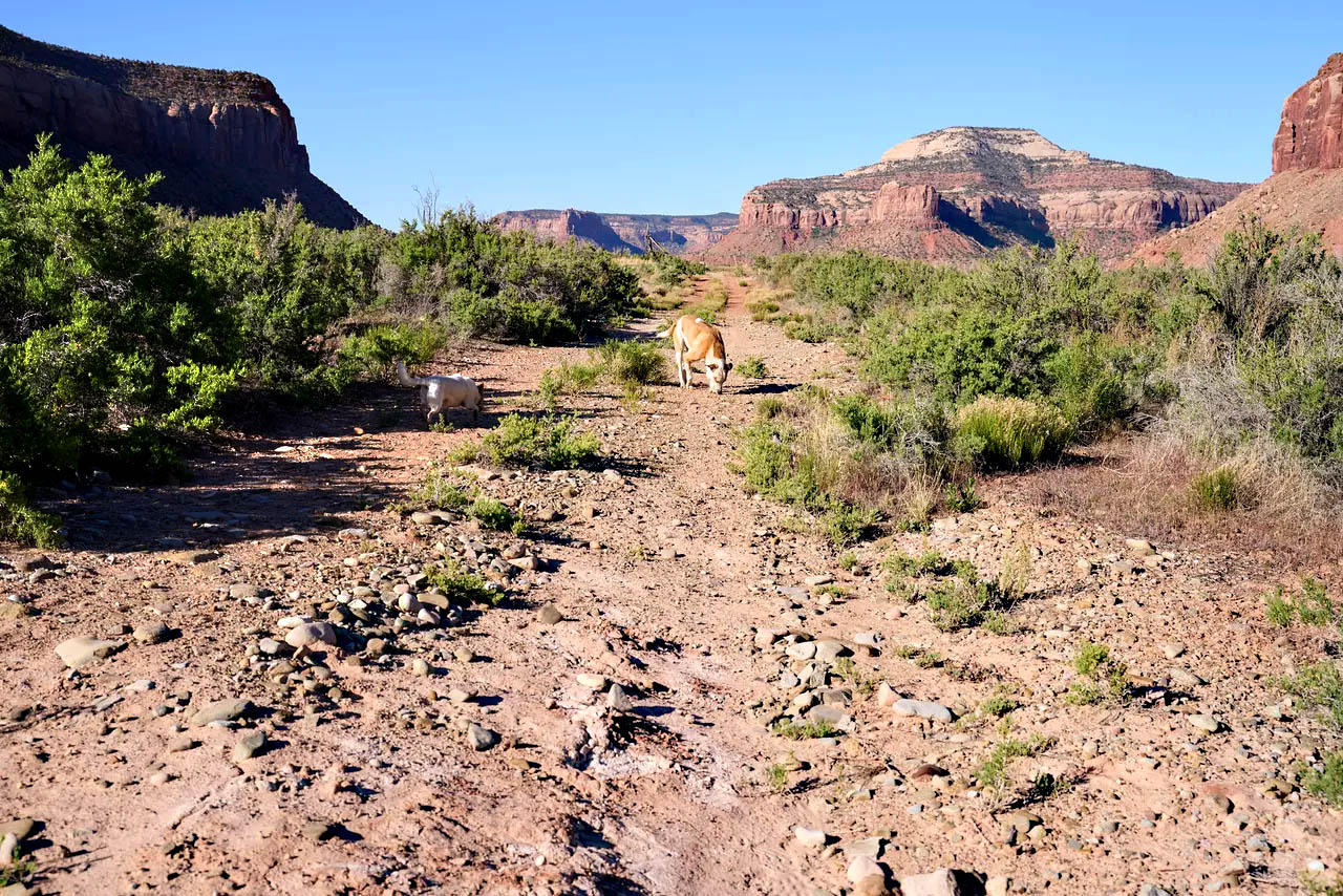 As the Southwest grows more arid, ranchers are using tech to sustain the economic and ecological viability of cattle — and protect the fragile living soil beneath their hooves. Read the story.
 Agrovoltaic energy consists of using the same area of land to obtain both solar energy and agricultural products. ARS researchers in Las Cruces have been collaborating with colleagues at New Mexico State University to evaluate alternative agrivoltaic designs and select sites on cropland and rangeland. At those sites, the team will conduct experiments to test the designs’ effects on crop and range production and environmental measurements, such as shading throughout the day, ground temperatures, and soil water. Read the story.
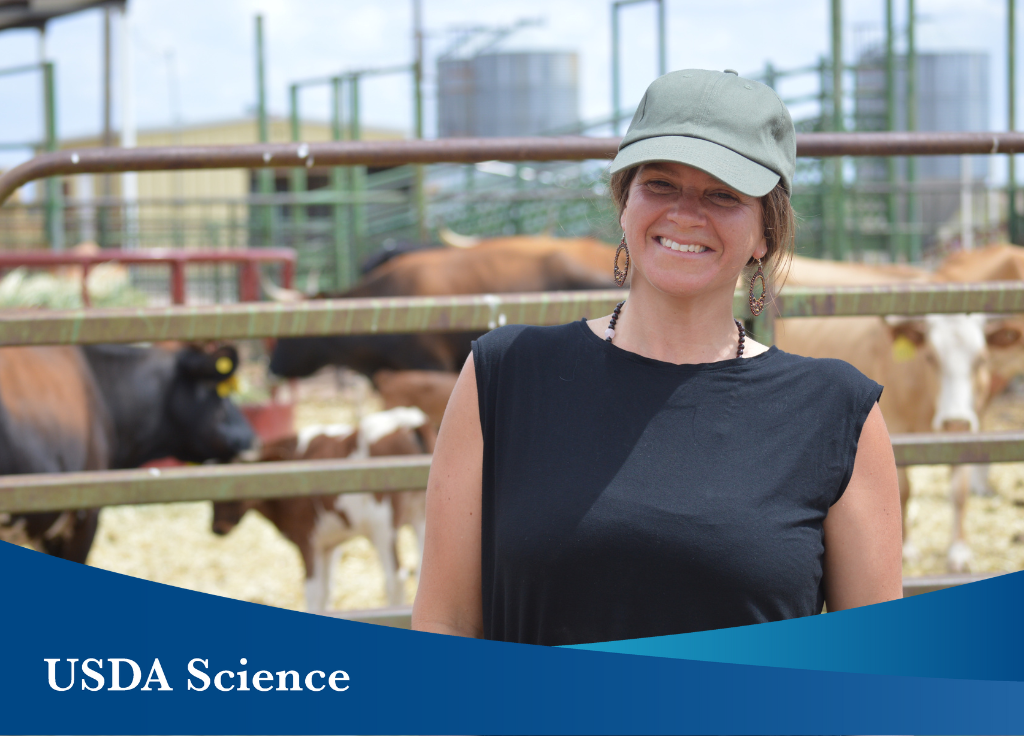 USDA Scientist Receives Award for Groundbreaking Work to Reconnect Crop and Animal Systems U.S. Department of Agriculture (USDA) scientist Sheri Spiegal received an exciting award recognizing her pioneering work integrating social science and biophysical science with stakeholder engagement to help animal producers and crop farmers improve the redistribution of manure nutrients from farms with an excess to fields and pastures that can use it sustainably. Read the story.
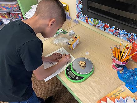 One of the many roles of a teacher is to instill a sense of wonder in students. A non-profit organization in New Mexico, and its instructors, are taking that charge quite literally
“Asombro means ‘wonder’ in Spanish, and that’s a perfect description of what we do,” said Stephanie Bestelmeyer, executive director of The Asombro Institute for Science Education in Las Cruces, NM. “We try to instill a sense of wonder about science and the natural world.” Read the story. In the photo, a third-grade student collects data on yucca seed pods as part of the Asombro lesson. (Stephanie Bestelmeyer)
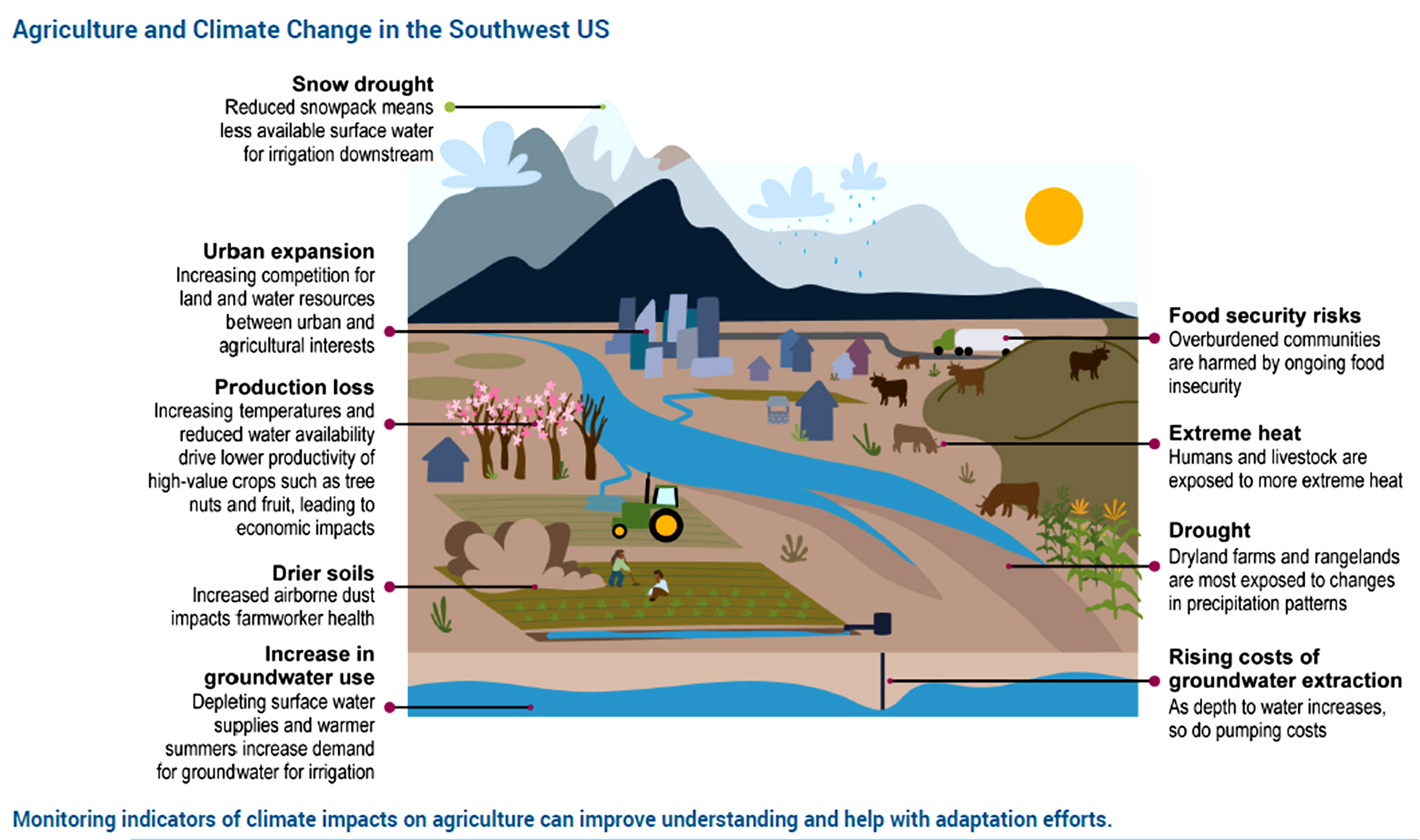 Climate change impacts to the Southwest’s agriculture include longer growing seasons, a northward shift in plant hardiness zones, expanded areas of heat stress, and higher rates of evapotranspiration, increasing demand for fresh water for irrigation. Monitoring the indicators helps us understand how impacts are experienced and how to adapt to risks. Figure credit: New Mexico State University and Utah State University. See figure metadata for additional contributors.
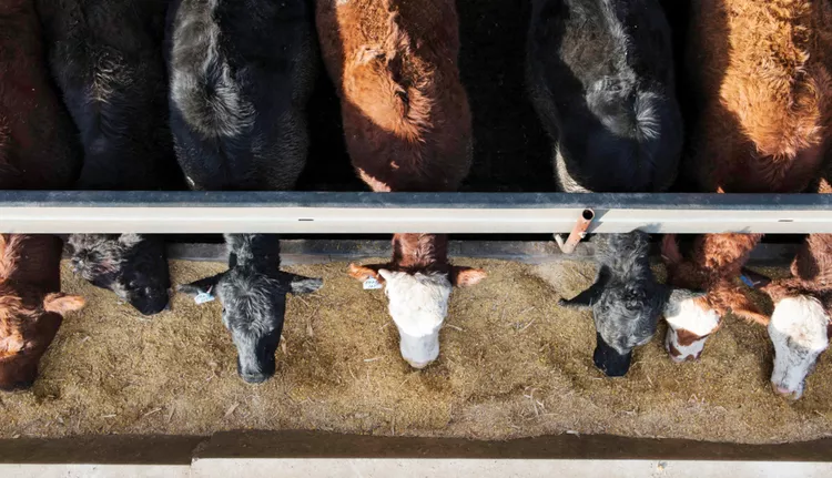 Effectively and efficiently distributing manure as a resource means solving a wicked problem. The initiative takes loads of data, improved nutrient mapping, and extensive networks to standardize how manure is managed and address its impacts along the supply chain and in different ecosystems. Read more about 'manuresheds' in Successful Farming.
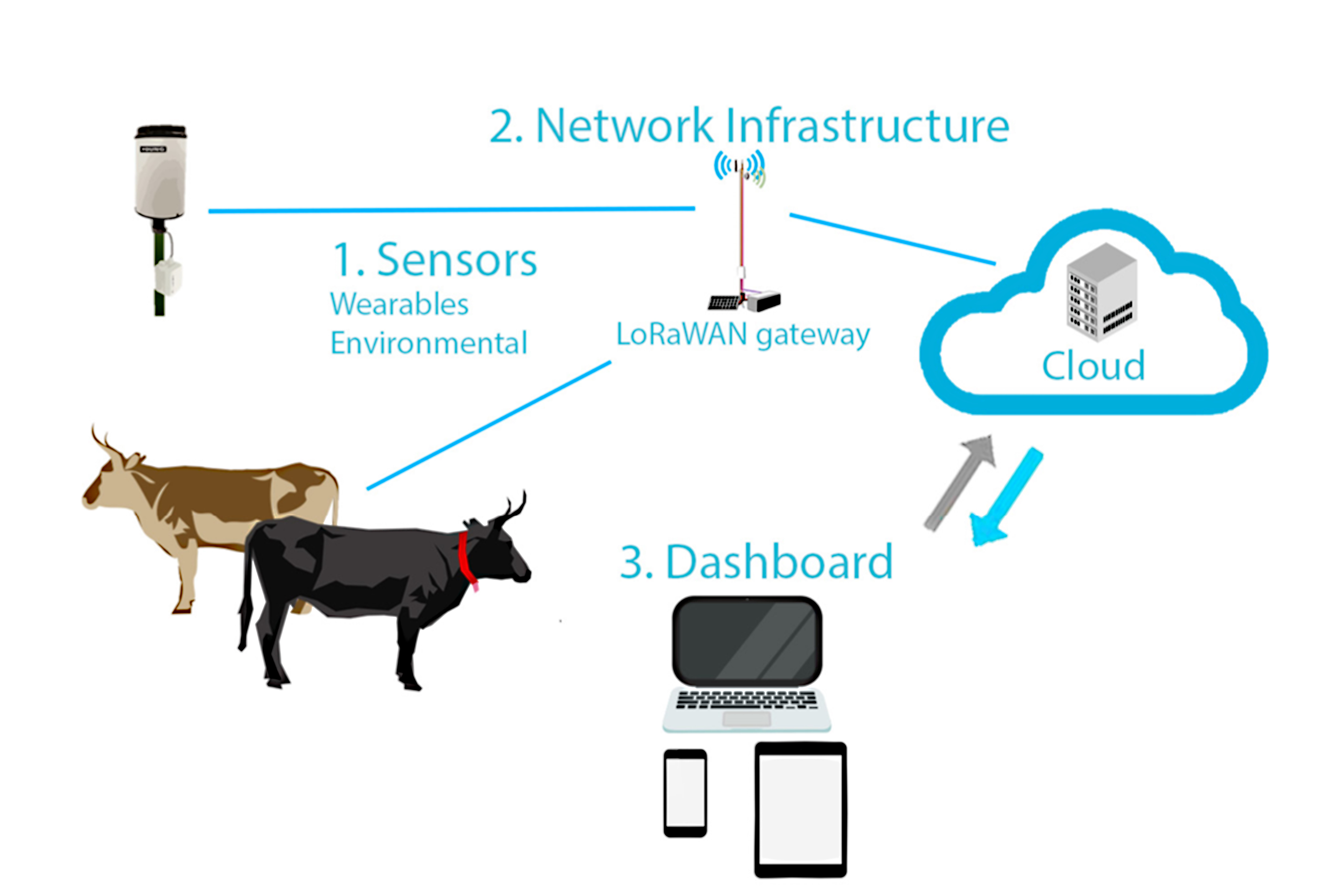 With a growing number of “smart” devices becoming available for ranch management (e.g., virtual fence technology, water level sensors, etc.) that communicate data in real-time to a phone or computer, there also comes an array of options for getting those devices up and running. Before investing in new technology, it's worth taking some time to consider what kind of wireless network is best for the intended operation, bearing in mind that most devices are not universal. The Sustainable Southwest Beef Project recently published a new fact sheet to help producers compare options for connectivity on their ranch.
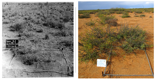 Scientists at the ARS's Jornada Experimental Range and Army Research Laboratory in N.M. used 100 years of measurements of perennial grass growth from their Long-Term Agroecosystem Research site to identify how climate controls abrupt changes in grass cover. The study showed that both periods of extreme loss and recovery have occurred, with variations closely tied to the Pacific Decadal Oscillation index. Learn more about this study in the official news release.
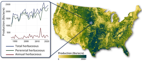 The USDA Agricultural Research Service (ARS) recently assumed management of the Rangeland Analysis Platform (RAP), a spatial dataset and online mapping tool that allows users to access more than three decades of vegetation and production trends across the United States. Learn more about this new ARS role in the official news release.