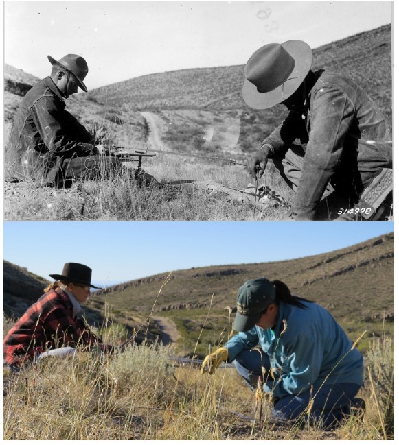
The permanent chart quadrat project at the Jornada Experimental Range was established in 1915. Chart quadrat sampling is done using a pantograph, wherein technicians use a stylus attached to an arm to trace the perimeter of plants within the quadrat, and a pencil at the other end of the arm maps the information onto the data sheet. The Jornada quadrat monitoring effort collected yearly data from 1915 to 1979 and resumed at 5- year intervals beginning in 1995. Quadrat data have been used to understand patterns and mechanisms of long- term vegetation change, plant demography, species interactions, and community transitions.
Quadrat- based monitoring of desert grassland vegetation at the Jornada Experimental Range, New Mexico, 1915– 2016 by E. Christensen, D. James, C. Maxwell, A. Slaughter, P. Adler, K. Havstad, and B. Bestelmeyer published in Ecology https:// doi.org/10.1002/ecy.3530.